
Most prospectors
walk past gold
Not because it isn't there but because they can't see it.Now you can.
1-metre precision. Vegetation stripped away.
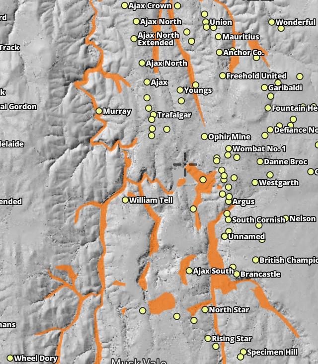
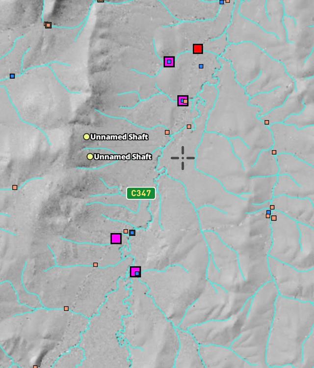
Bare-earth hillshade reveals the old diggings, water races and benches a satellite photo can't see past.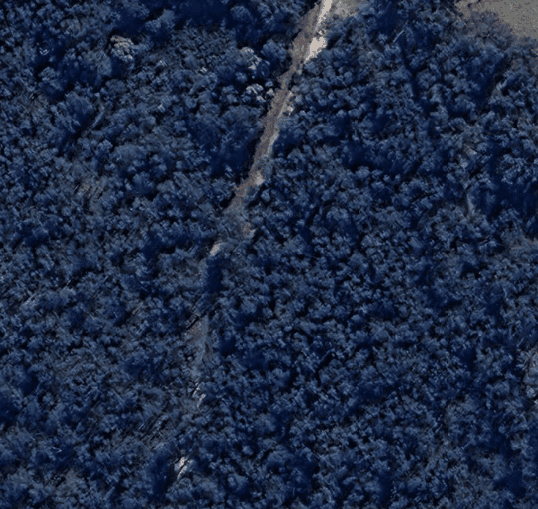
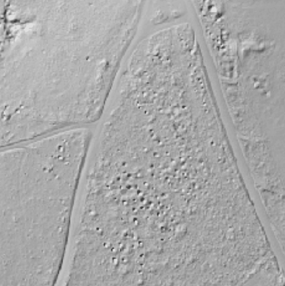
Read the landscape like the old-timers
Old-timer workings, shafts & water races
See the exact spots where gold was found before, revealed in stunning detail.
Gullies, benches & natural gold traps
Identify the geological features that concentrate gold naturally.
Forgotten goldfields off the tracks
Discover areas missed by modern prospectors but rich with history.
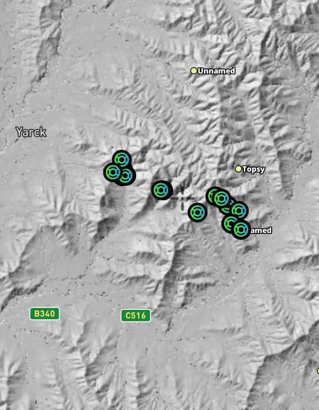
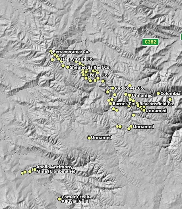
LiDAR coverage & pricing
1-metre bare-earth hillshade across the eastern goldfields. Add it to an active Detector Maps subscription.Victoria 1m DEM Hillshade
Add-on to Detector Maps subscription
Requires active Detector Maps subscription
Online-only layer • Offline coming soon
- 24/7 Access to 1m Hillshade across the Victorian Goldfields
- Find the gold the old timers missed
- Priority access to new areas
- Mobile app and Desktop App
Instant access • Cancel anytime • Secure payment
New South Wales 1m DEM Hillshade
Add-on to Detector Maps subscription
Requires active Detector Maps subscription
Online-only layer • Offline coming soon
- 24/7 Access to 1m DEM Hillshade across New South Wales
- Find the gold the old timers missed
- Priority access to new areas
- Mobile app and Desktop App
Instant access • Cancel anytime • Secure payment
Queensland 1m DEM Hillshade
Add-on to Detector Maps subscription
Requires active Detector Maps subscription
Online-only layer • Offline coming soon
- 24/7 Access to 1m DEM Hillshade across Queensland
- Find the gold the old timers missed
- Priority access to new areas
- Mobile app and Desktop App
Instant access • Cancel anytime • Secure payment
England LiDAR & NDVI
Bare-earth LiDAR and a vegetation index across England — earthworks, ridge & furrow, crop-marks.England LiDAR
Add-on to Detector Maps subscription
Requires active Detector Maps subscription
Online-only layer • Offline coming soon
- 8 Sun Angles (0°, 45°, 90°, 135°, 180°, 225°, 270°, 315°)
- Slope Analysis Layer included
- Find hidden features from different perspectives
- 24/7 Access across England
- Mobile app and Desktop App
Instant access • Cancel anytime • Secure payment
England NDVI
Add-on to Detector Maps subscription
Requires active Detector Maps subscription
Online-only layer • Offline coming soon
- Normalized Difference Vegetation Index (NDVI) Layer
- Two Colour Ramps for enhanced visualization
- Identify vegetation health and density
- 24/7 Access across England
- Mobile app and Desktop App
Instant access • Cancel anytime • Secure payment